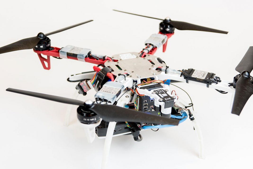
When an unmanned aerial vehicle, also called a UAV or drone, loses connection to GPS due to terrain interference or loss of network and thus loses navigability, it’s used in rescue operations would not only become useless but could also go on to great additional problems, like property or personal damage, in an already precarious situation.
Many technical solutions to the problem have been tried, including filling in gaps in GPS information and networks, motion capture capabilities, high-speed cameras, or a light reflective radar known as LiDAR. However, the trade-offs between the extra equipment required or extreme slow down in operational speed have not made these solutions viable.
But a research team from MIT and Draper, working with the Defense Advanced Research Projects Agency (DARPA), have developed a new navigational system that adds no extra equipment and is highly reliable even in GPS inhabited areas and a variety of mixed terrains. Named SAMWISE, an acronym for smoothing and mapping with inertial state estimation, the navigation relies on unique algorithms and equipment that additionally allows for autonomy from a remote operator at speeds up to 45mph.
The key appeal of SAMWISE is that it retains the maneuverability desired by first responders, search and rescue teams, and soldiers. The details of the system were presented in a paper at the Aerospace Conference IEEE 2017. The research team hopes to use the SAMWISE system in other vehicles like cars, boats, and submarines and more vehicle applications.
Related Links;
More News to Read
- Does Physical Activity Affect the Brain’s Aging Process?
- Gaining a Deeper Understanding of the Relationship Between DNA and Cell Function
- Can This New Heart Model Save Muscles During Heart Attack?
- Harvard’s New Exosuit Will Push the Limits of Human Performance
- The New Cheap and Fast Way to Make Supercapacitor Electrodes For Electric Cars


